Blue Rock Hydrogeology
New Dehli, India
Training geoscientists and water managers in the use of heliborne transient electromagnetic (TEM) technology to map fracture networks and support sustainable recharge interventions.
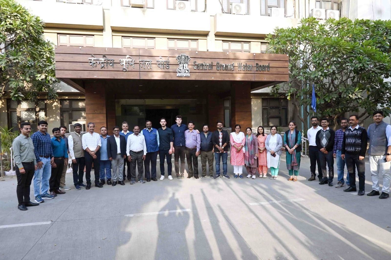
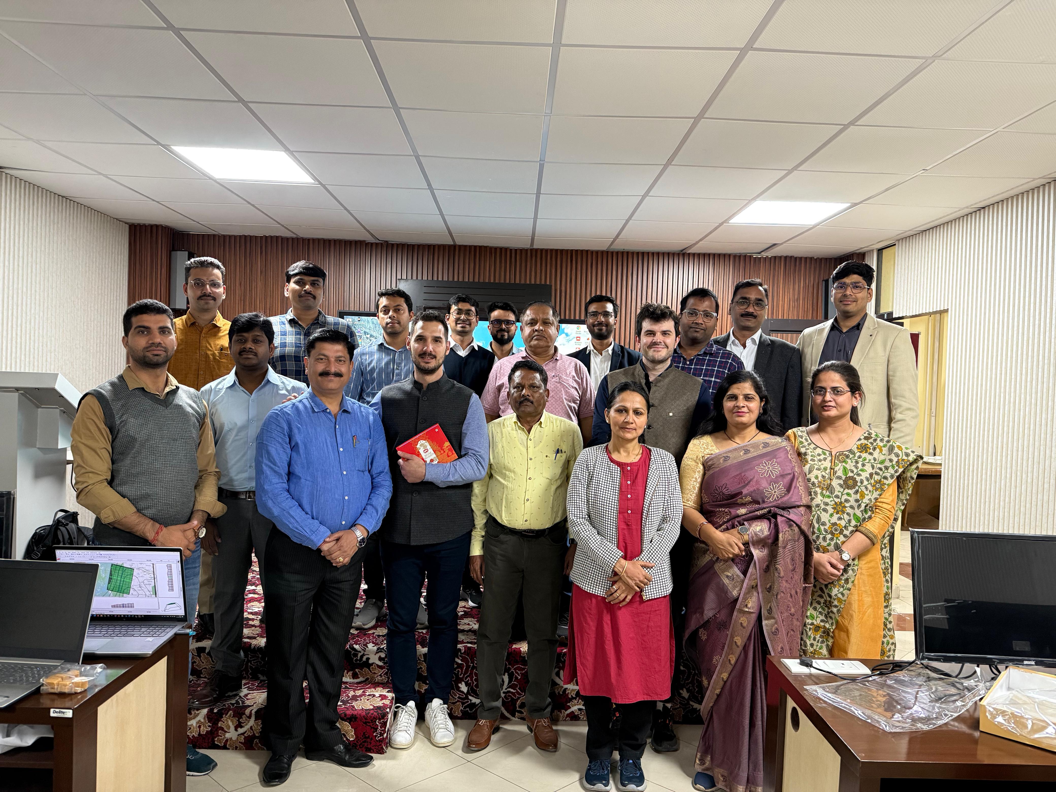
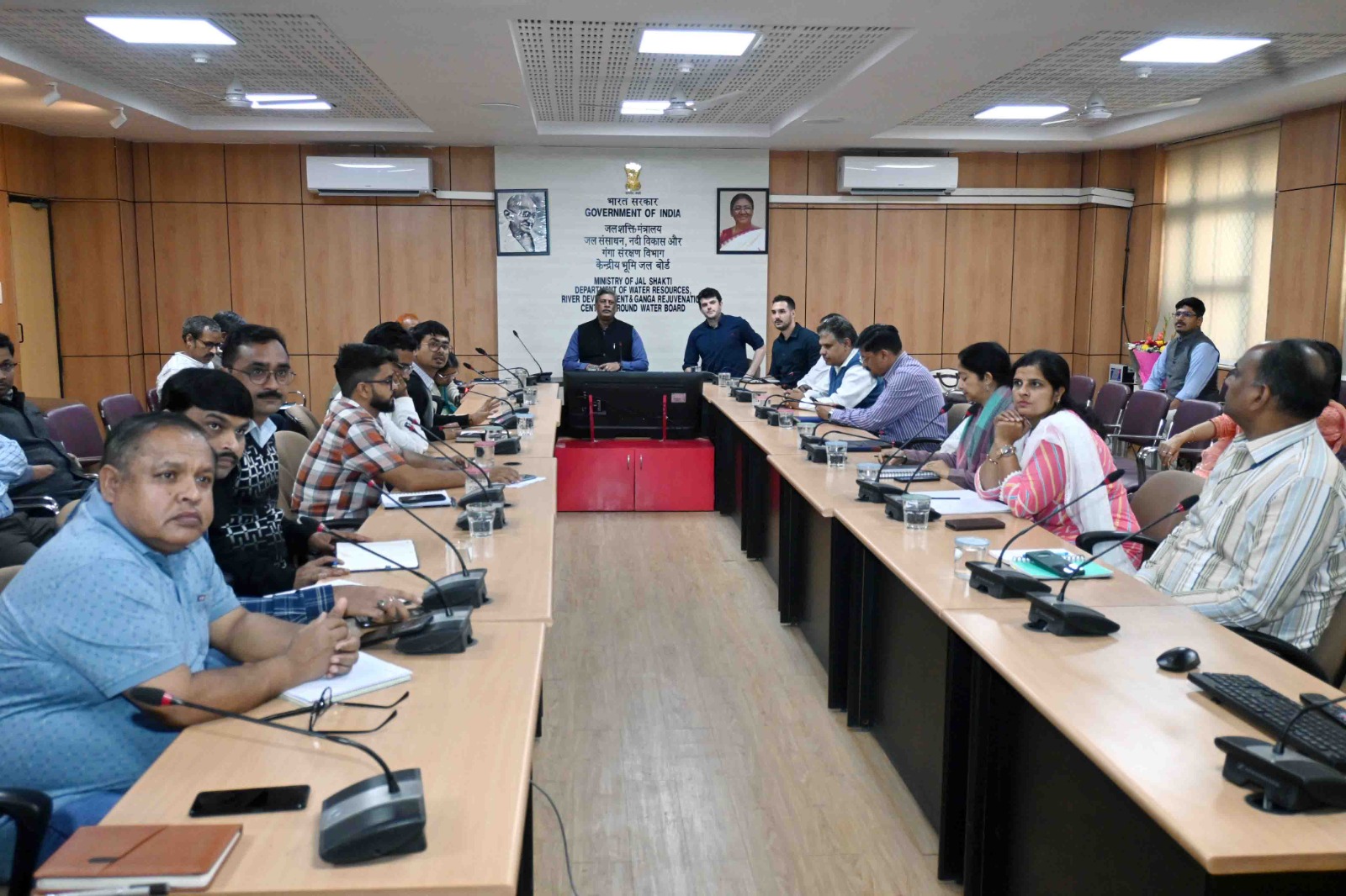
Capacity Development and Objectives
The training program was designed to strengthen national and regional capacity in the application of heliborne transient electromagnetic (HTEM) methods for groundwater management. Participants included geoscientists, hydrogeologists, and water planners from government agencies and research institutions across India. The course emphasized how high-resolution airborne data can transform groundwater characterization of fractured systems and deep aquifers relevant for managed recharge in hard rock terrains.
Regional Context and Challenges
Across much of peninsular India, aquifers occur within weathered and fractured crystalline bedrock, characterized by low storage and variable transmissivity. These conditions pose major challenges for water security and agricultural resilience, especially under increasing climatic variability. Conventional drilling and geophysical surveys provide only localized insights, leaving critical uncertainties about aquifer continuity and recharge potential. Heliborne TEM systems offer a unique advantage by delivering continuous 3D resistivity imaging over large areas.
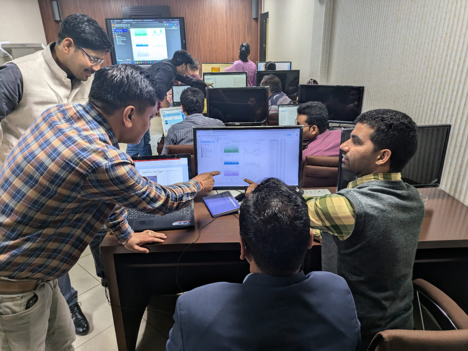
Training Approach and Field Demonstration
The program combined classroom sessions and data interpretation exercises. Participants were introduced to the full HTEM workflow. Case studies from across India, and elsewhere, showcased how airborne resistivity models can delineate weathered zones, fracture corridors, and potential MAR sites.
Technical Integration and Interpretation
A key focus of the program was developing participants' ability to relate electrical resistivity models to hydrogeological structures and recharge potential. Exercises included layer interpretation, hydrostratigraphic classification, and volumetric estimation of prospective aquifers. Participants also explored how HTEM outputs can be integrated with remote sensing, geological maps, and pumping-test data to support decision-making in groundwater development and MAR planning. The course concluded with collaborative sessions where teams designed mock survey strategies tailored to their regional water challenges.
Outcomes and Future Applications
The training equipped participants with the technical and conceptual tools to evaluate subsurface conditions at scales previously unattainable with conventional methods. By linking HTEM imaging to groundwater management frameworks, the program demonstrated how airborne geophysics can help identify fracture-controlled aquifers, prioritize recharge zones, and optimize drilling programs. Beyond technical capacity, the workshop fostered a national community of practice committed to integrating scientific innovation with sustainable water management for regional-scale mapping initiatives.