Blue Rock Hydrogeology
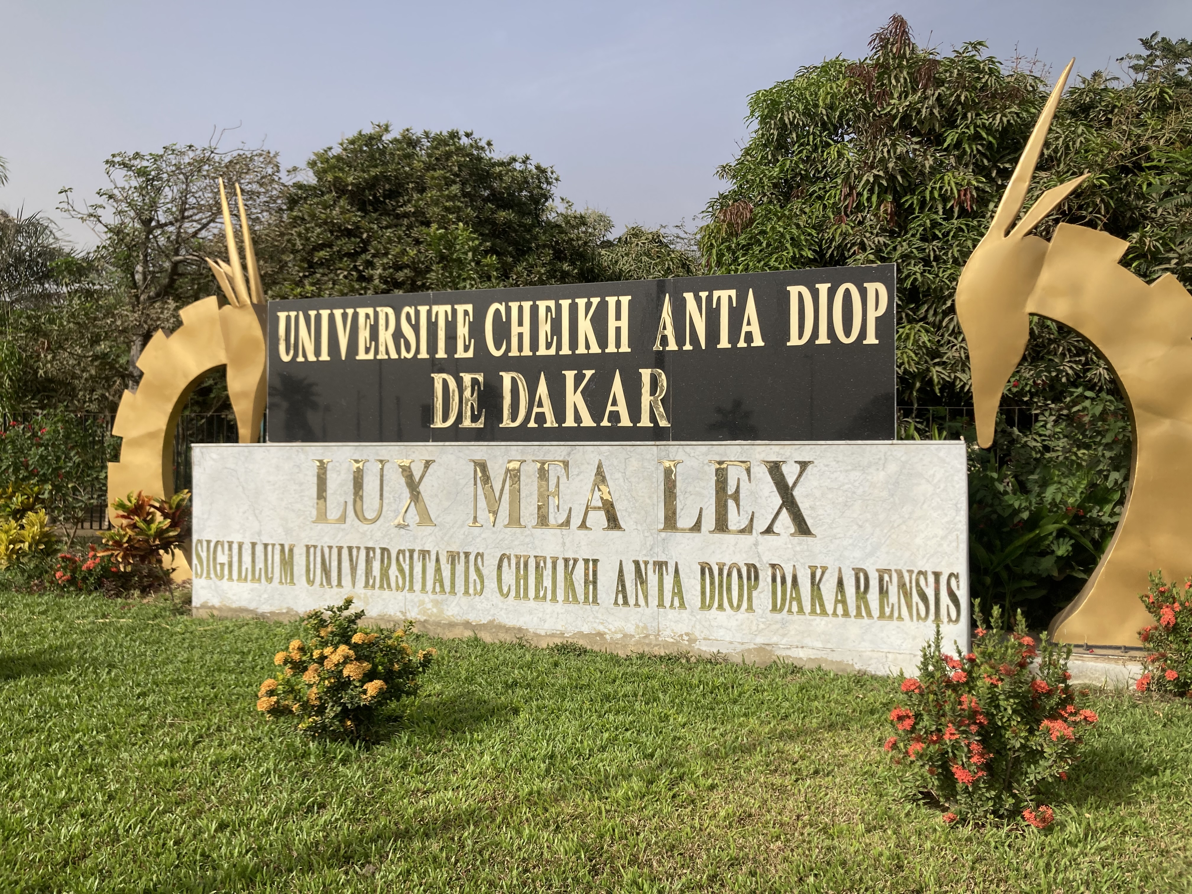
Dakar, Senegal
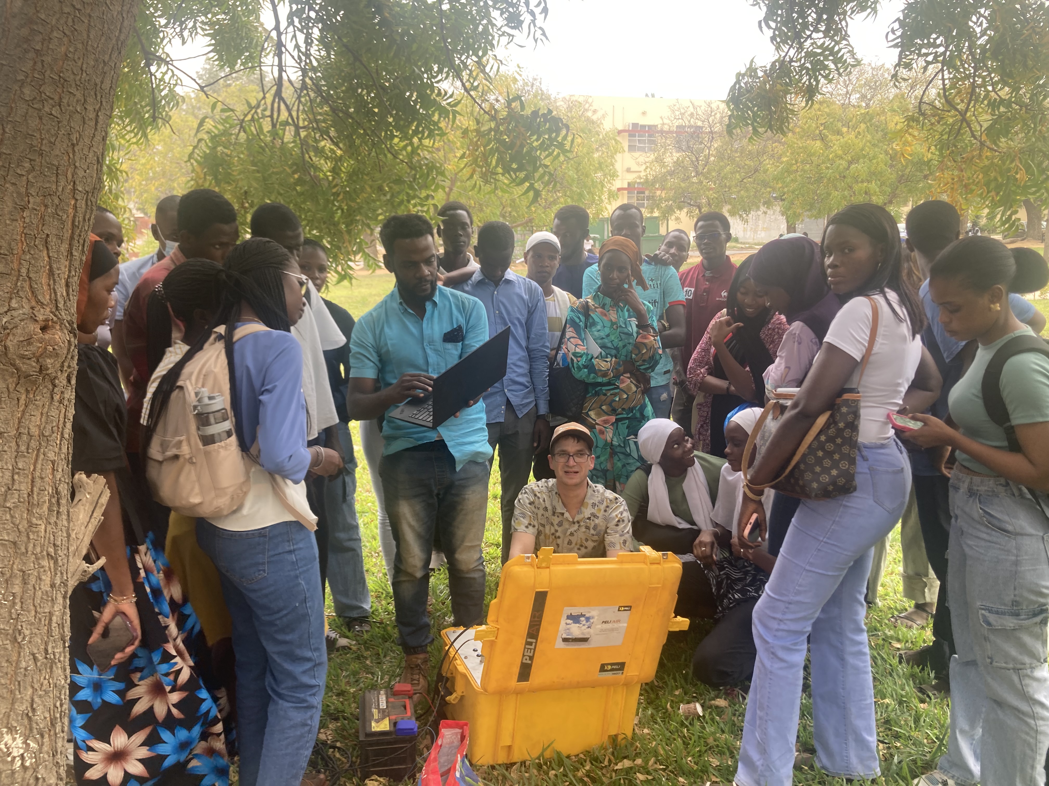
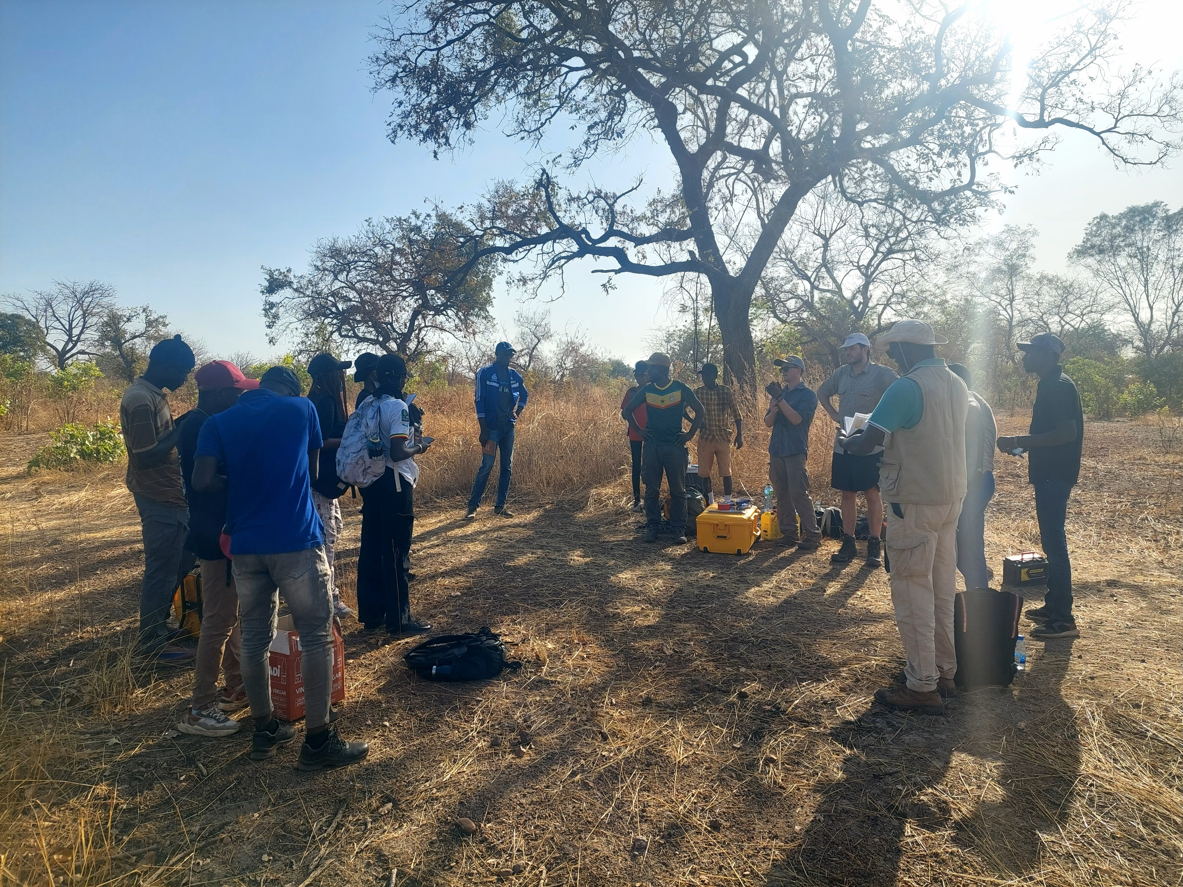
Training UCAD students in the use of ground-based transient electromagnetic (tTEM) and electrical resistivity tomography (ERT) methods to characterize aquifers and support managed aquifer recharge (MAR) planning.
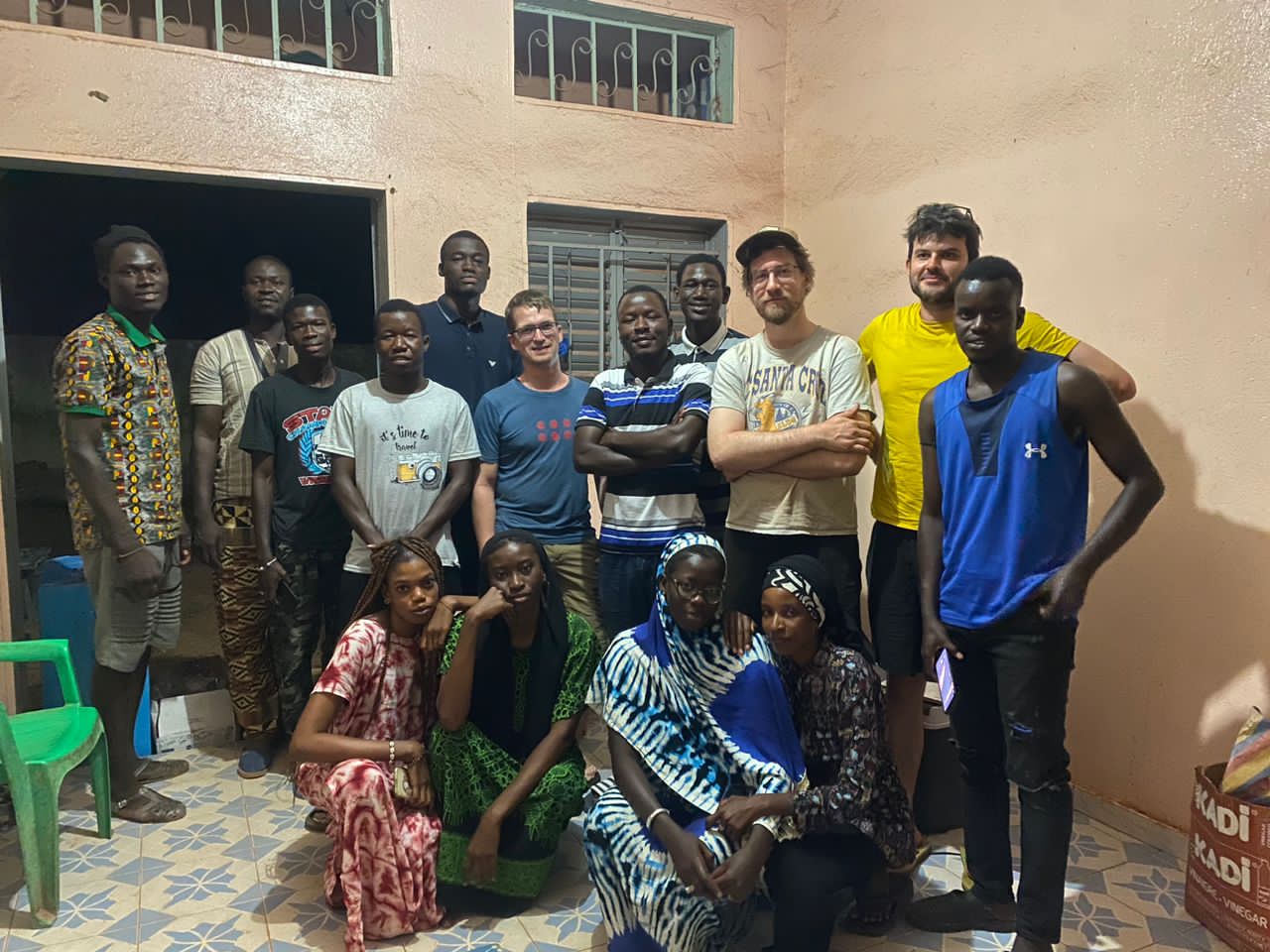
Capacity Development and Objectives
The field training program in Dakar, Senegal, focused on building the capacity of UCAD students in using ground-based transient electromagnetic (TEM) and electrical resistivity tomography (ERT) methods for groundwater assessment and managed aquifer recharge (MAR) planning.

Regional Context and Challenges
Groundwater in Dakar-Thiès-Mbour is under increasing pressure from rapid urbanization, saltwater intrusion, and declining recharge. Thick unsaturated zones, variable lithology, and limited borehole control complicate hydrogeological characterization. The integration of TEM and ERT provides a unique opportunity to visualize subsurface structures, identify saline zones, and assess the feasibility of MAR interventions at both local and regional scales.
Training Approach and Field Demonstration
The course combined theory sessions, field demonstrations, and data interpretation exercises. Group discussions focused on correlating resistivity structures with aquifer units, identifying clay confining layers, and assessing recharge pathways.
Outcomes and Future Applications
The training enhanced participants' technical skills in survey planning, data acquisition, inversion, and interpretation for groundwater applications. By linking geophysical mapping to practical groundwater management, the program demonstrated how TEM and ERT can help:
- Delineate aquifer boundaries and saline intrusion fronts
- Support the design of MAR pilot sites
- Improve well-siting and protection strategies
- Build national capacity for long-term monitoring and data integration