Blue Rock Hydrogeology
Save River Valley, Zimbabwe
Hydrogeophysical mapping of alluvial aquifers supporting the Tongogara Refugee Camp and surrounding communities.
Background
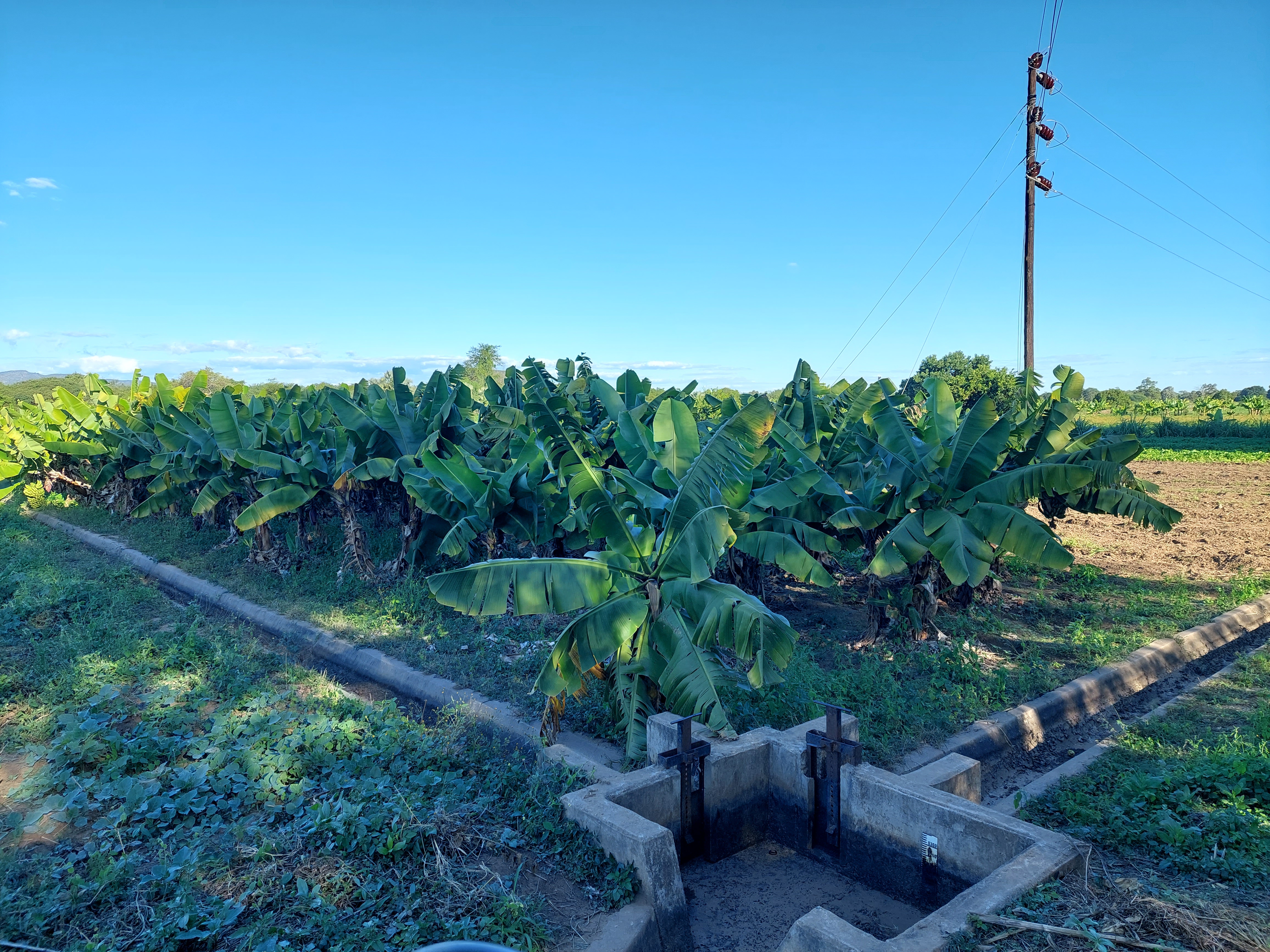
The Save River Valley hosts one of Zimbabwe's most important alluvial aquifer systems. These shallow sand and gravel deposits provide vital water for agriculture, ecosystems, and human settlements across an otherwise semi-arid landscape. Along the upper valley, near Chipinge District, lies the Tongogara Refugee Camp, home to tens of thousands of displaced people who rely almost entirely on groundwater for daily needs. Growing demand, coupled with climatic variability and poorly understood aquifer dynamics, has made sustainable groundwater management a pressing concern for both host and refugee communities.
Hydrogeological setting
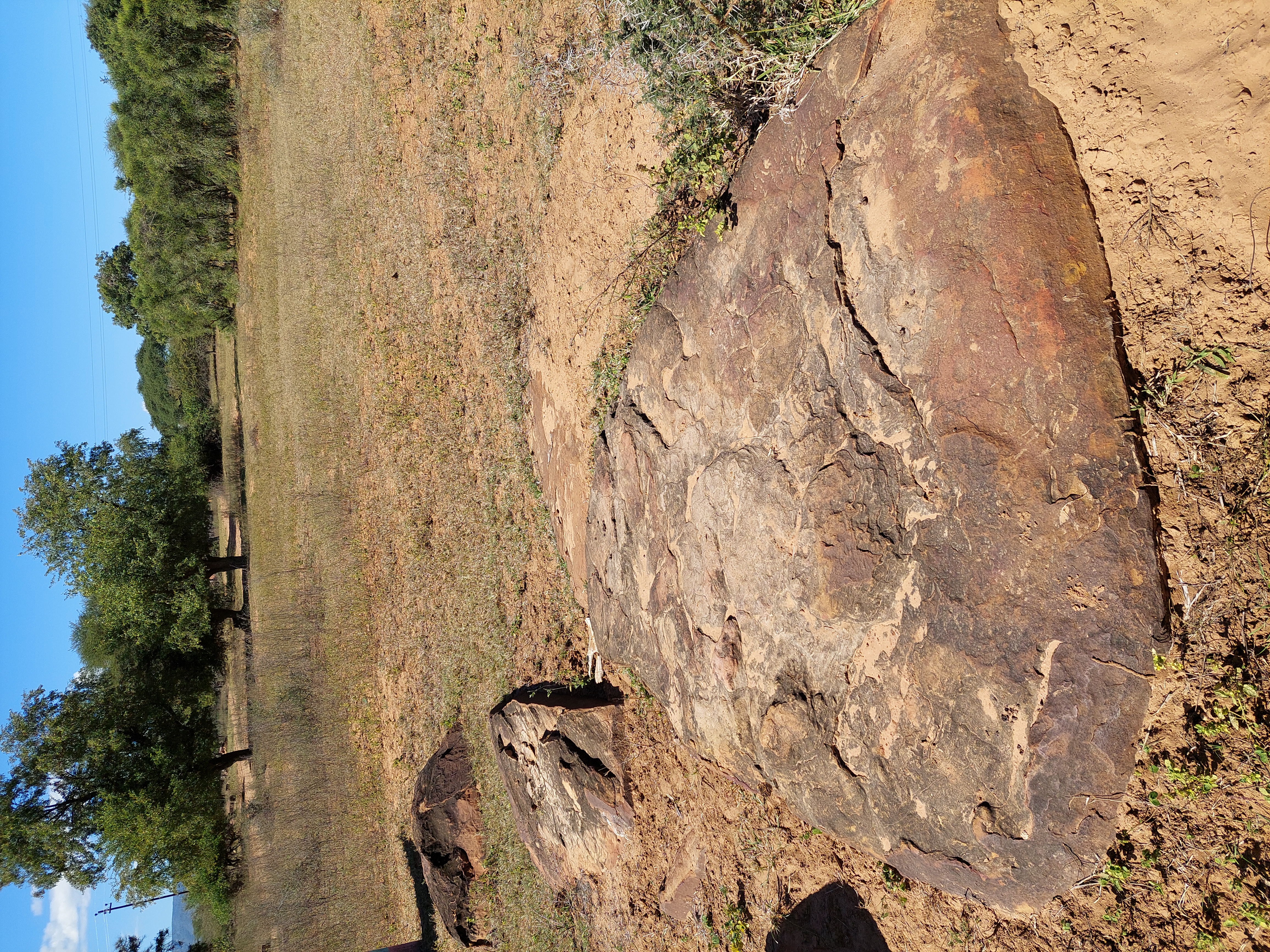
The Save River alluvium consists primarily of unconsolidated sands, gravels, and silts deposited by episodic floods within a broad incised valley cut into the underlying crystalline basement. The aquifers are generally unconfined to semi-confined, with variable thickness (5-30 m) and strong lateral heterogeneity. Recharge occurs through infiltration of seasonal river flows and local rainfall, while discharge is driven by evapotranspiration and abstraction from numerous boreholes and shallow wells. TEM imaging revealed distinct layering between coarse, resistive channel sands and finer, more conductive floodplain silts. The data provided clear insight into groundwater flow paths and storage potential.
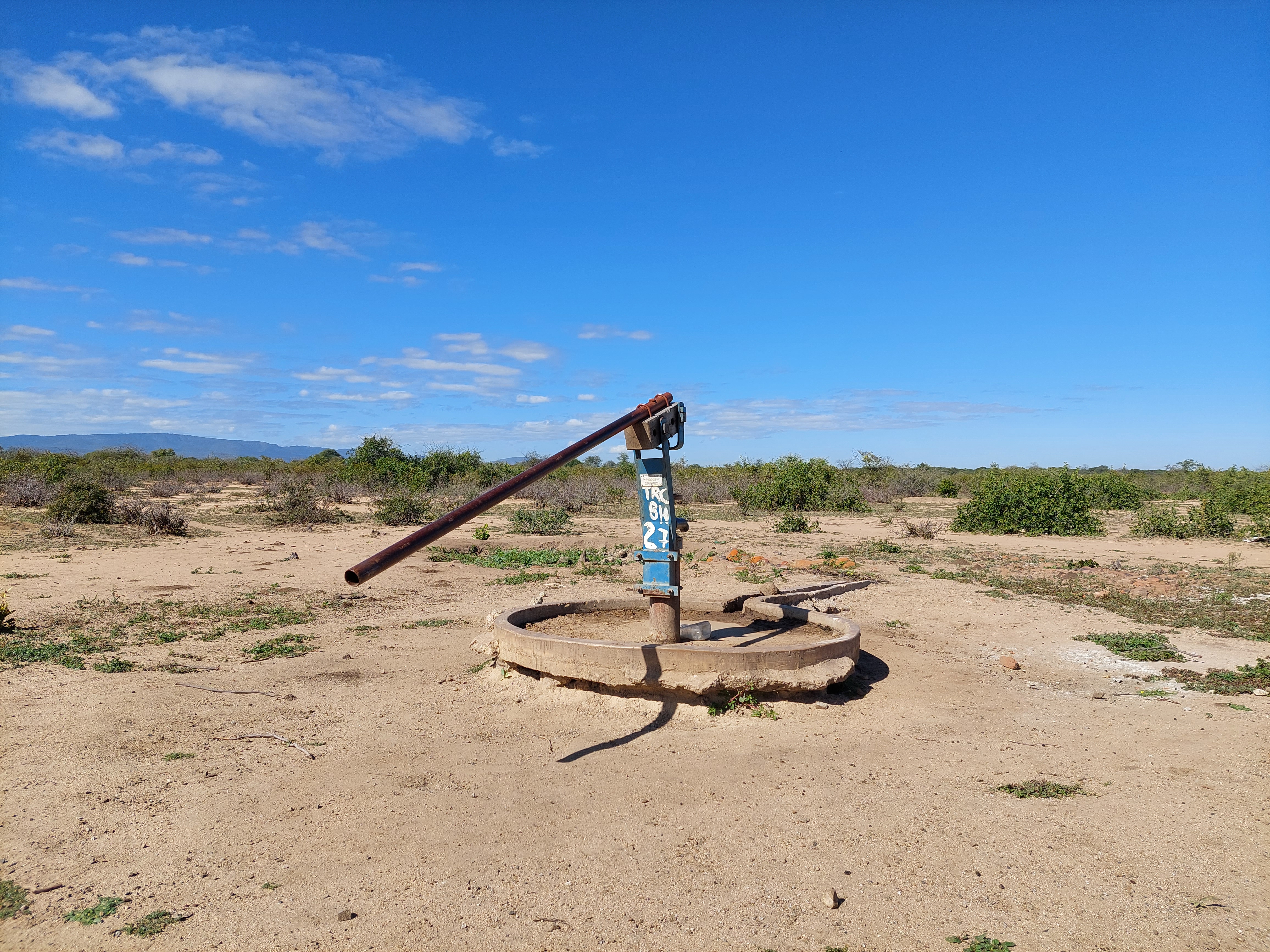
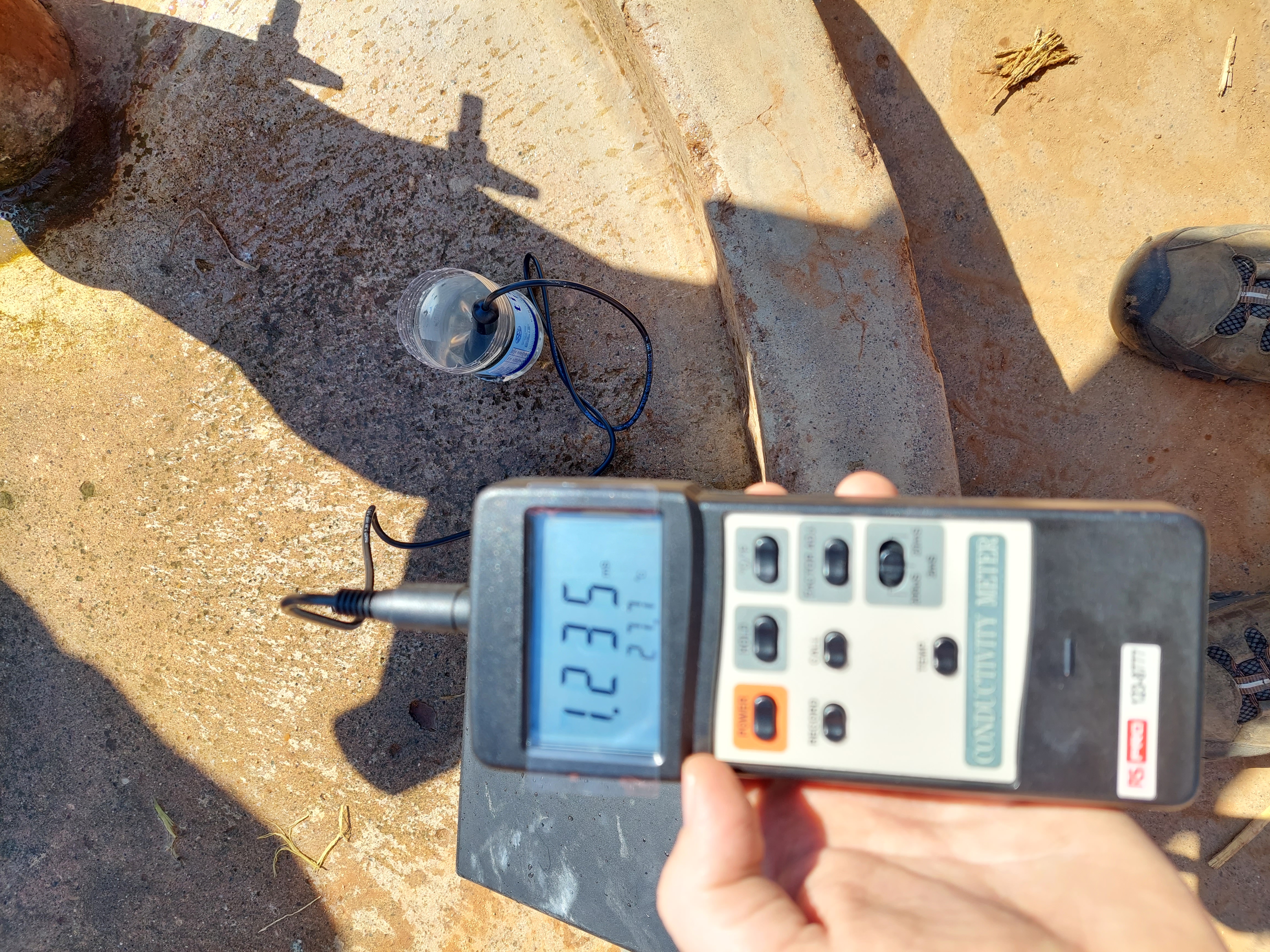
Field activities
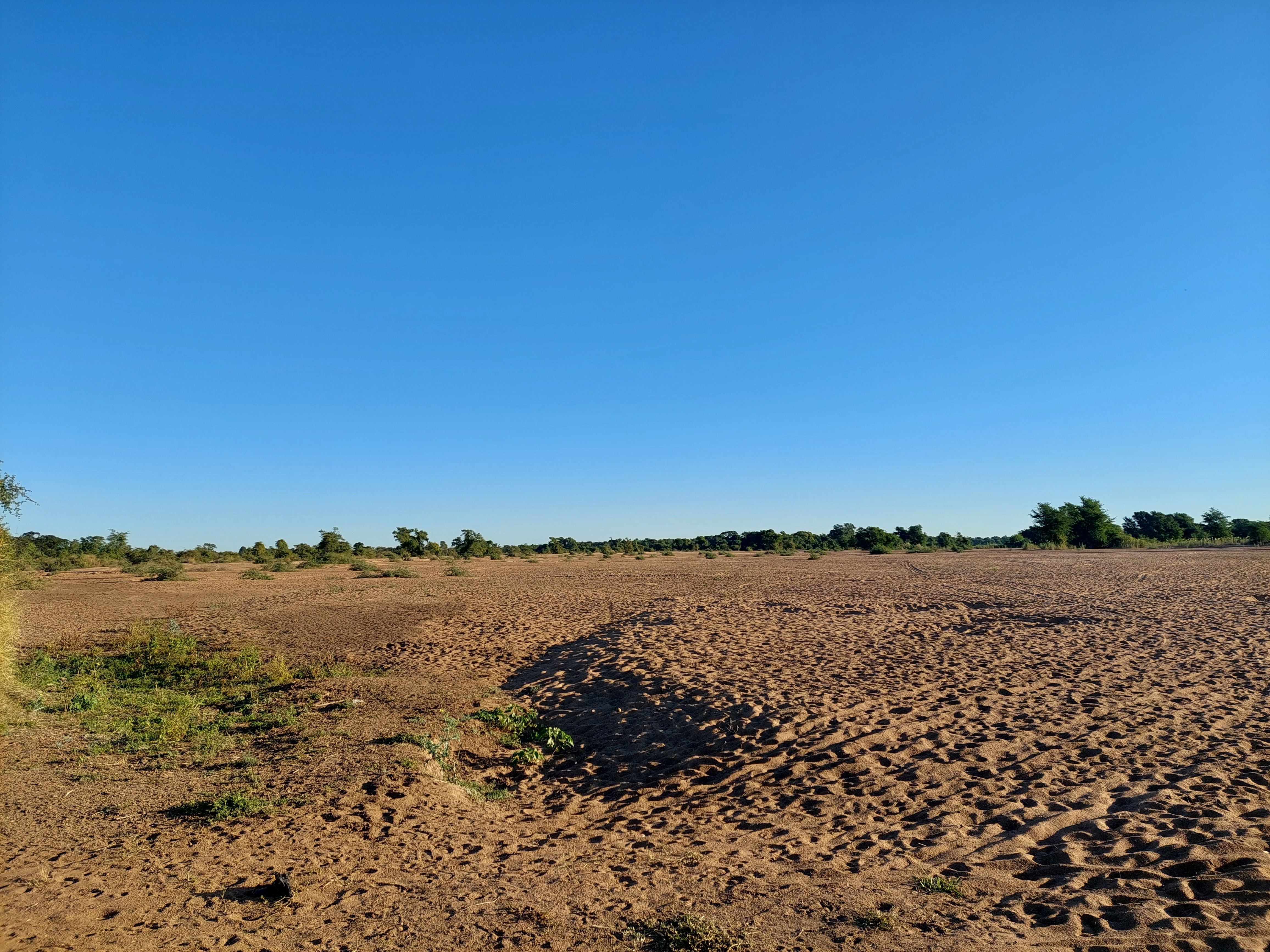
Fieldwork was conducted during the dry season, when river levels were low enough to access the sandy riverbeds and terrace zones. The team worked across a mix of active channels, floodplain farms, and relict terraces, often under extreme temperatures and challenging terrain. Collaboration with local authorities, camp engineers, and groundwater technicians ensured smooth coordination and access across multiple sites. Despite high temperatures and limited transport routes, full tTEM (transient electromagnetic) survey lines supplemented by targeted water-level and conductivity profiling.
Outcomes and relevance
The TEM surveys provided continuous 3D resistivity sections to depths of 60-80 m, allowing identification of saturated sand lenses and preferential flow zones. Borehole data and water-quality measurements were integrated to calibrate the geophysical interpretations. This integrated workflow helped delineate productive aquifer zones and distinguish fresh groundwater units from areas affected by salinization or clay-bound water.