Blue Rock Hydrogeology
Bentiu-Rubkona, South Sudan
Locating hidden freshwater resources to sustain communities amid extreme climate and humanitarian pressures.
Background
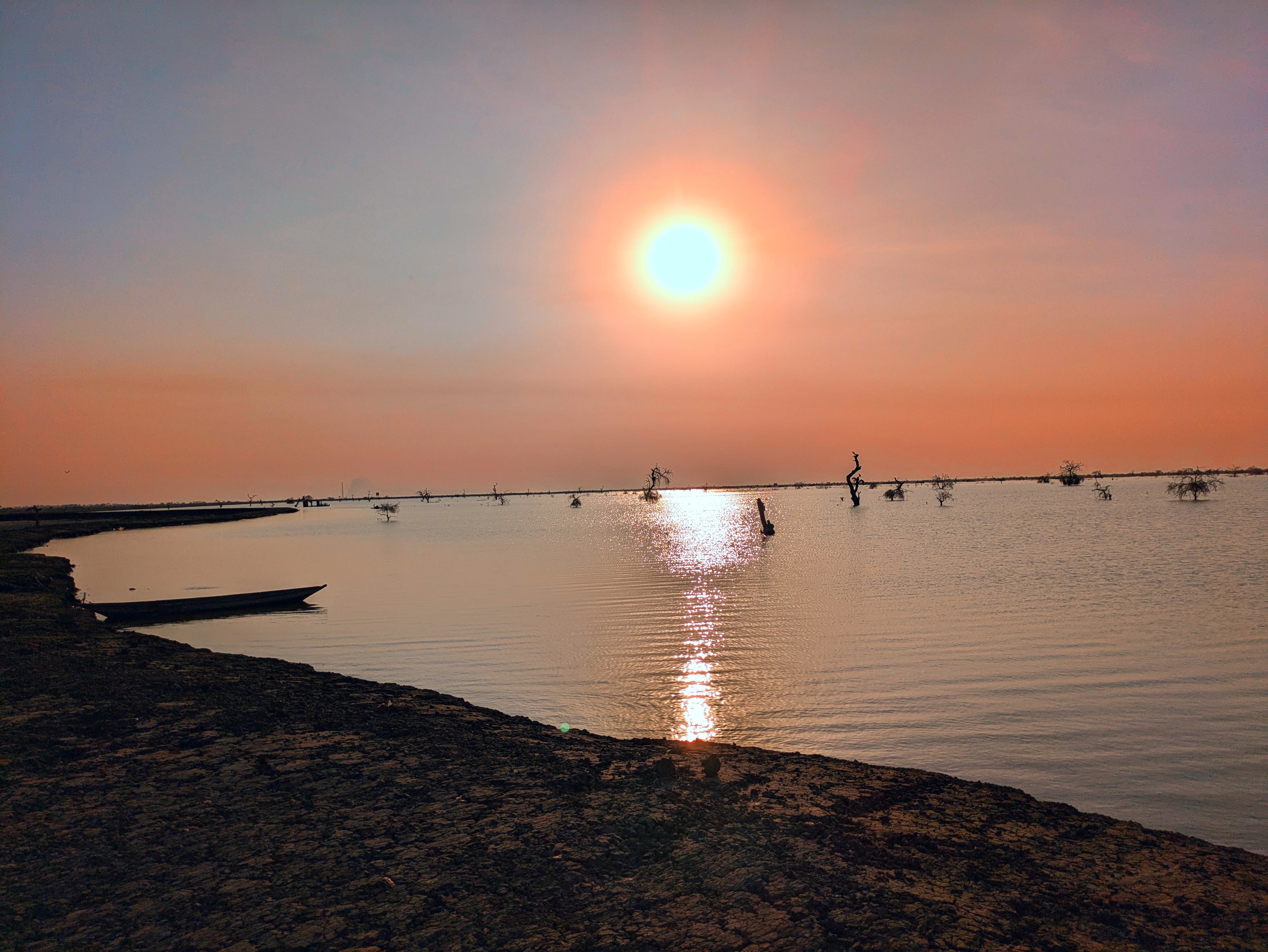
Located in the northern South Sudan, Bentiu and Rubkona lie within the Bahr el Ghazal basin an expansive system of clay-rich wetlands that experience severe flooding during the rainy season and widespread desiccation in the dry months. After years of conflict and displacement, the towns have become humanitarian hubs serving tens of thousands of internally displaced people. Pressure on groundwater resources is intense, as surface water sources are often saline or contaminated, and drilling outcomes are highly uncertain due to limited hydrogeological data.
Hydrogeological setting
The Bentiu-Rubkona floodplain is composed of thick sequences of lacustrine and fluvial clays interbedded with fine sands and silts. Shallow groundwater is typically brackish to saline, while deeper semi-confined sand layers can contain usable freshwater. The strong resistivity contrast between clay and sand units makes the area well suited to electromagnetic imaging, allowing detailed mapping of aquifer geometry and salinity structure.
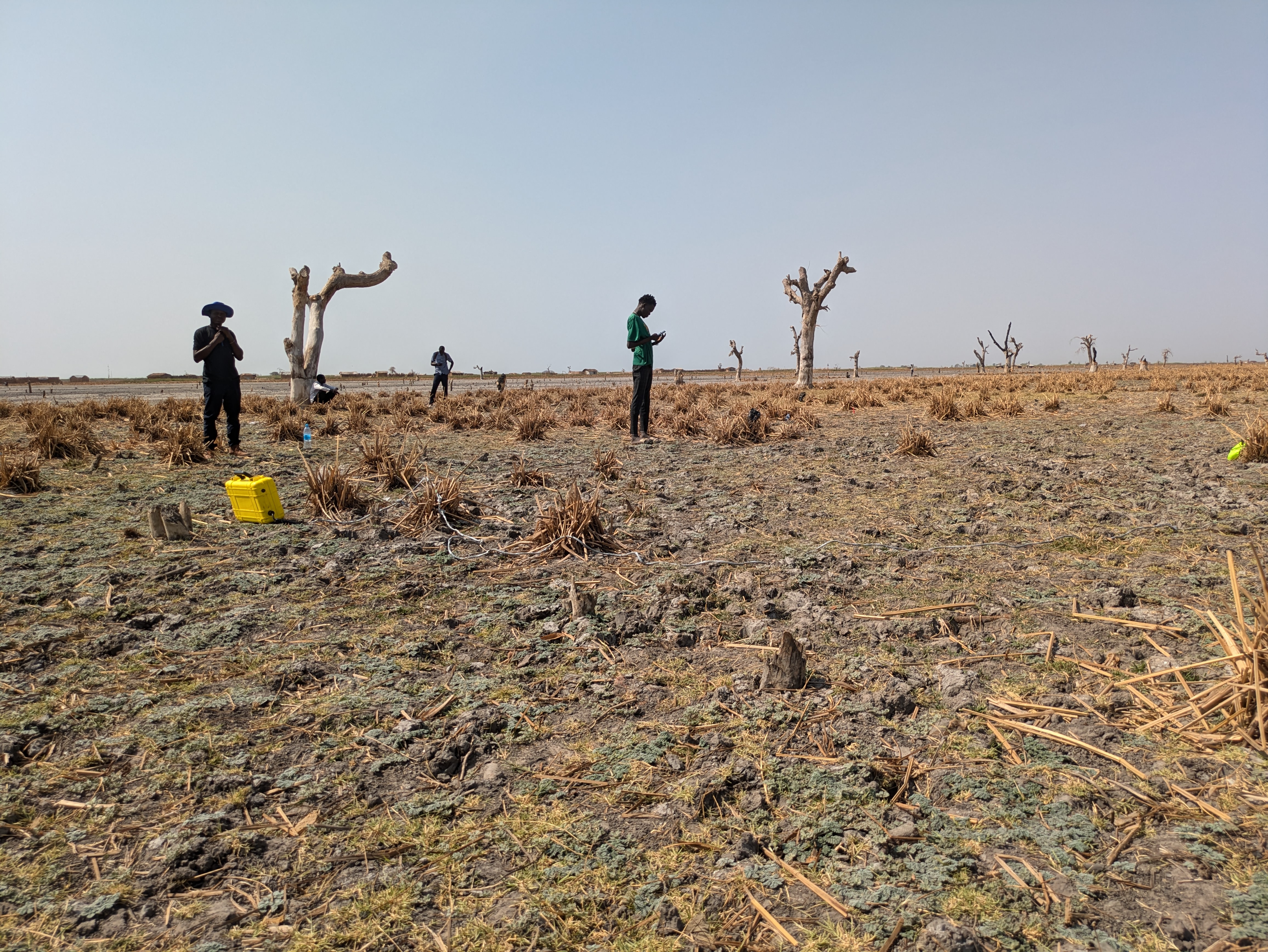
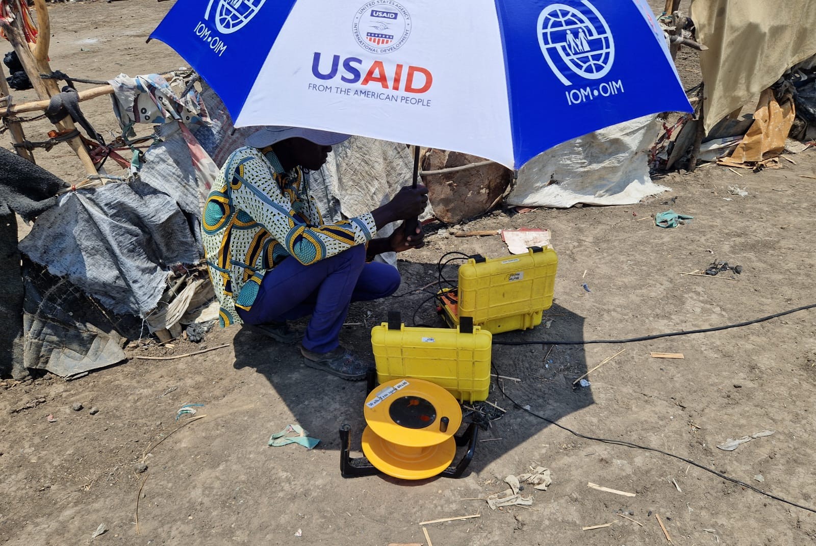
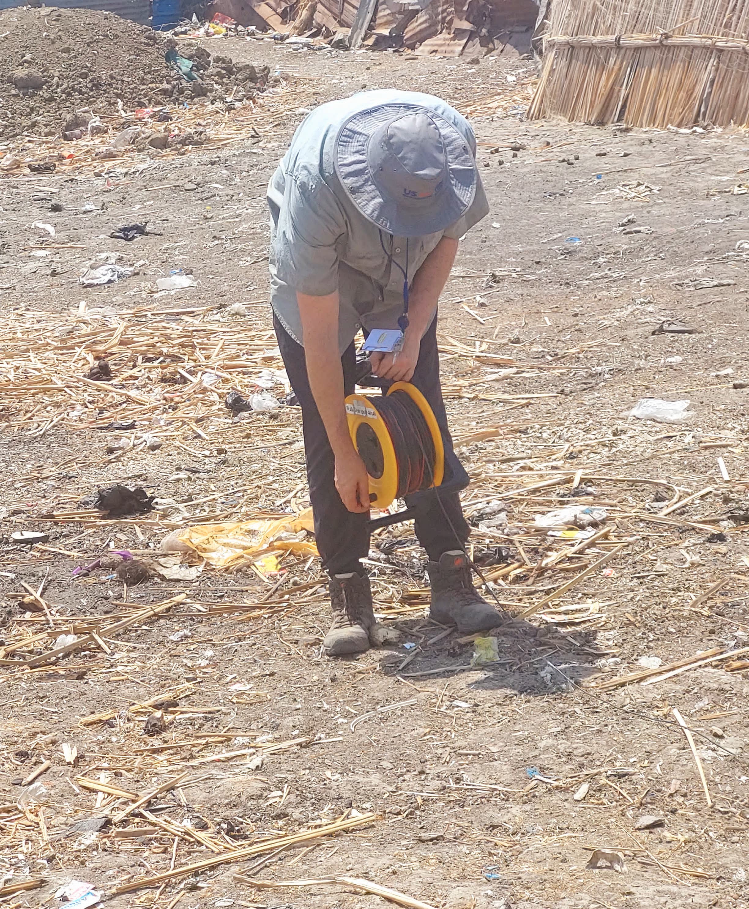
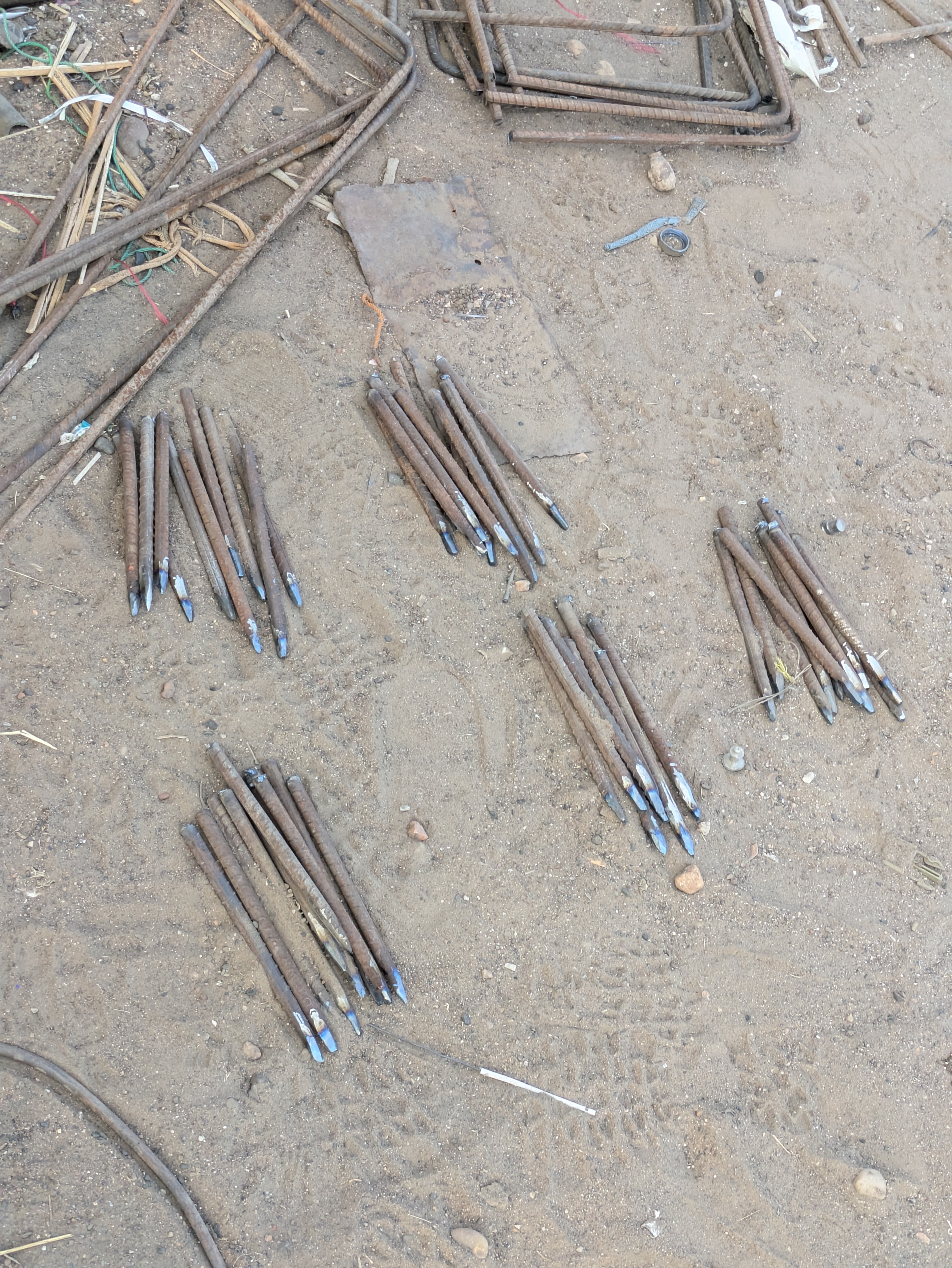
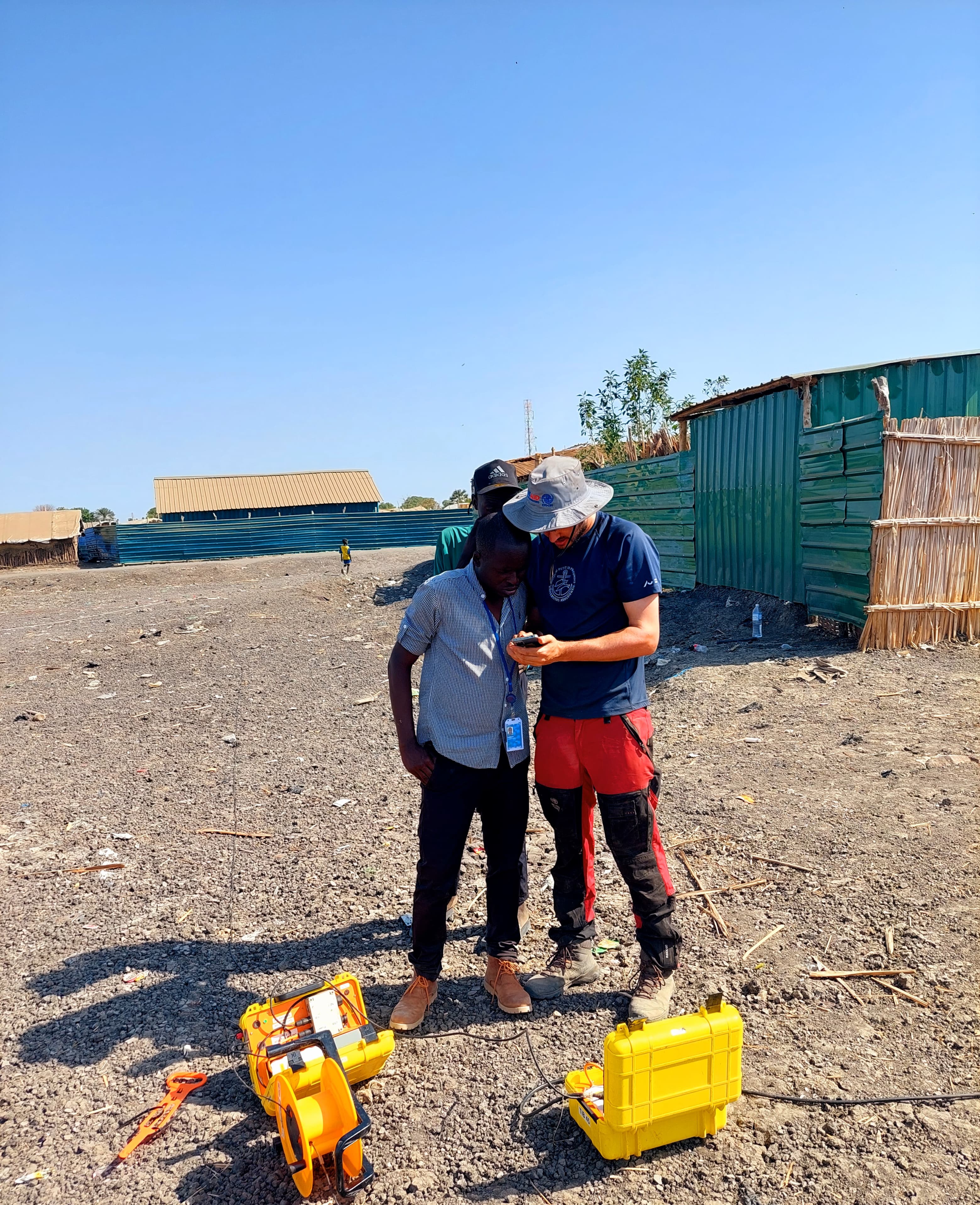
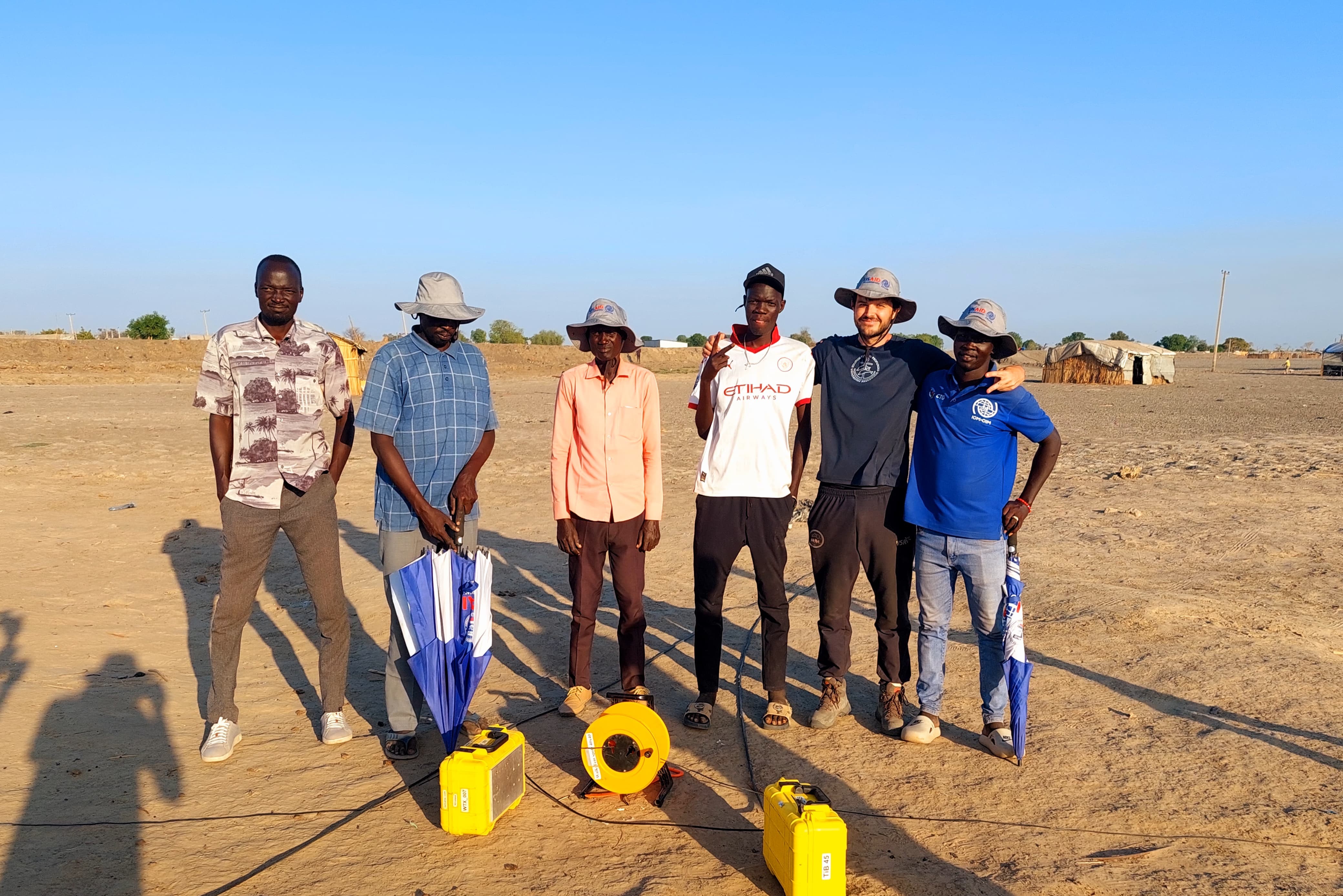
Field activities
Fieldwork was conducted during the dry season on land reclaimed through the construction of dykes, enabling access across the black cotton soils once floodwaters had receded. Teams operated under extreme heat and challenging logistics, difficult terrain, and multiple security checkpoints. Despite these conditions, systematic TEM (transient electromagnetic) and ERT (electrical resistivity tomography) surveys were successfully completed across priority settlements and potential wellfield zones, with support from local authorities and humanitarian partners on the ground.
Outcomes and relevance
High-resolution TEM and ERT measurements were used to characterize subsurface resistivity to depths of 100-120 m. The results provided new insight into aquifer depth, continuity, and water quality potential, identifying several zones with moderate to low salinity suitable for borehole siting. Data were cross-referenced with existing drilling logs, water-quality samples, and local observations to confirm interpretations. This integrated workflow offered a rapid method for guiding groundwater development under difficult field conditions.